top of page

GeoResGlobe
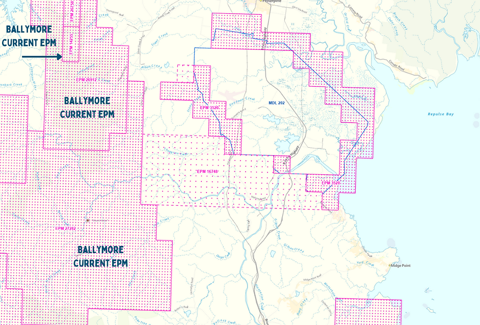
GeoResGlobe provides an online, interactive experience to view Queensland's mining and exploration data to assist in the administration of permits and assessment of mineral potential in Queensland.
Users of GeoResGlobe can access over 600 spatial data layers that include themes such as exploration, production and historical resource authorities, geological and geophysical data, native title areas, administrative boundaries and more.
Access is free and there is no need to register.
Saving Essential Habitats = Protecting Wildlife


If not now, when?
If not you, who?

View Gallery
Our Water Resources are irreplaceable and deserve our primary focus and protection. Endangered animals and flora located in this delicate ecosystem are in dire need of our help.


bottom of page


